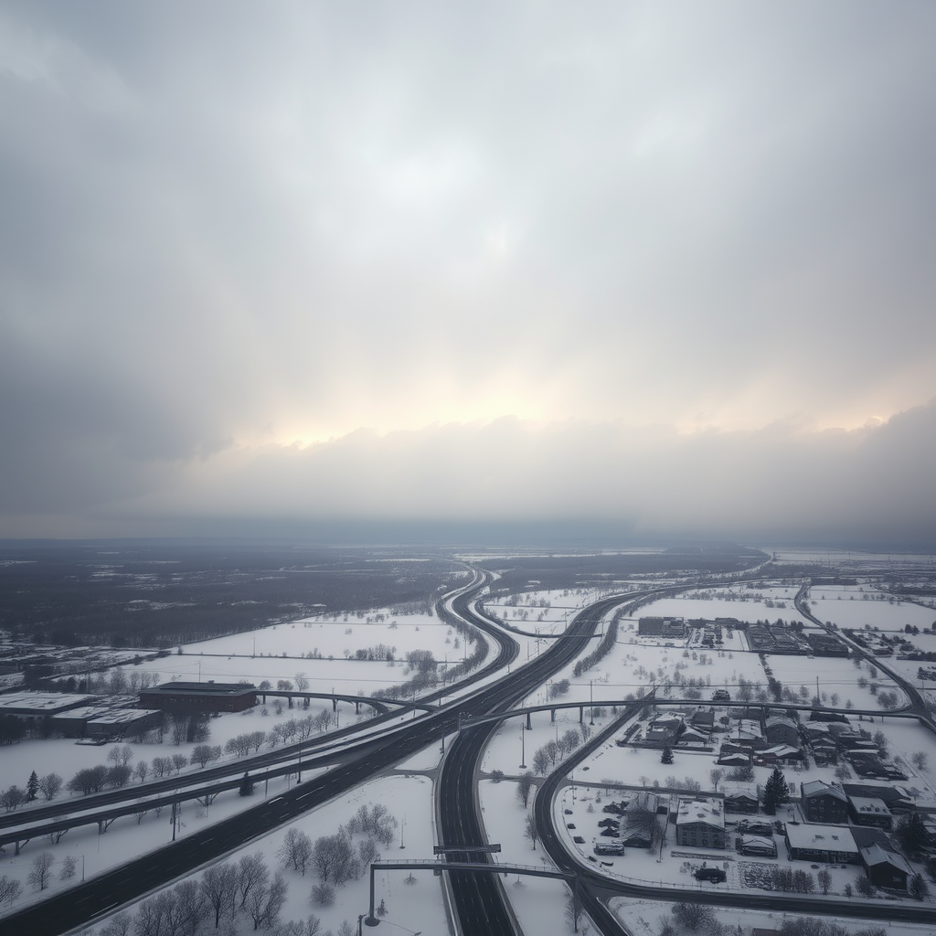
A massive winter storm system is barreling across America's heartland, threatening to dump up to 18 inches of snow across multiple states from the Midwest through the Northeast. Meteorologists are calling this potentially one of the most significant December snowstorms in recent years, with millions of Americans preparing for dangerous travel conditions and possible power outages.
Storm Track and Timeline
The storm system, originating from the Pacific Northwest, has gained considerable strength as it moves eastward across the continental United States. Weather models show the storm intensifying as it crosses the Great Plains, with the heaviest snowfall expected to begin Thursday evening and continue through Saturday morning.
States under winter storm warnings include Illinois, Indiana, Ohio, Michigan, Pennsylvania, and New York. The National Weather Service has issued blizzard warnings for portions of the upper Midwest, where wind gusts up to 50 mph could create whiteout conditions and make travel extremely hazardous.
Expected Snow Accumulations
Forecasters predict snowfall totals that could reach historic levels in some areas. Chicago is expected to receive 12-16 inches, while Detroit and Cleveland could see 10-14 inches. The heaviest accumulations are forecast for areas along the Great Lakes, where lake-effect snow could push totals above 18 inches in localized areas.
New York City and Philadelphia are preparing for 6-10 inches, with higher amounts possible in surrounding suburbs and elevated areas. Boston could receive 8-12 inches, making this one of the most significant early winter storms for New England in several years.
Travel Disruptions and Safety Concerns
Major airlines have already begun canceling flights at key hubs including Chicago O'Hare, Detroit Metropolitan, and Cleveland Hopkins airports. Amtrak has announced service modifications along several Northeast Corridor routes, and state transportation departments across the affected region are pre-positioning snow removal equipment.
"This is a significant weather event that will impact millions of Americans. We strongly urge people to avoid unnecessary travel and prepare for extended power outages in some areas."
Interstate highways including I-70, I-80, and I-90 are expected to experience severe travel conditions. State officials in Ohio, Pennsylvania, and New York have activated emergency response teams and are coordinating with utility companies to prepare for potential widespread power outages.

Emergency Preparations Underway
Local emergency management agencies across the affected states have opened warming centers and are coordinating with the American Red Cross to ensure adequate shelter capacity. Grocery stores and hardware retailers report increased demand for essential supplies including batteries, flashlights, and non-perishable food items.
Utility companies have mobilized additional crews and equipment from unaffected regions to respond quickly to power outages. ComEd in Illinois and DTE Energy in Michigan have issued statements advising customers to prepare for possible extended outages, particularly in areas with heavy tree cover where falling branches could damage power lines.
Safety Tips for Residents
Weather experts and emergency officials are urging residents in the storm's path to take immediate precautions. Essential preparations include stocking up on food, water, medications, and emergency supplies for at least 72 hours. Residents should also ensure they have adequate heating fuel and backup power sources if available.
For those who must travel, officials recommend keeping emergency kits in vehicles including blankets, water, snacks, and fully charged mobile phones. Drivers should inform others of their travel plans and avoid driving during the heaviest snowfall periods expected Friday night through Saturday morning.
Economic Impact Concerns
The timing of this major winter storm, occurring during the busy holiday shopping season, raises concerns about economic disruption across the affected regions. Retail analysts estimate that the storm could impact holiday sales in major metropolitan areas, with many stores likely to close during the worst conditions.
Supply chain experts are monitoring potential disruptions to shipping and logistics operations, particularly given the storm's path through major transportation corridors. Several major retailers have already announced modified delivery schedules for affected areas.

Climate Context and Historical Perspective
While significant December snowstorms are not unprecedented in these regions, meteorologists note that this system's intensity and geographic scope make it particularly noteworthy. The storm's development pattern reflects broader atmospheric conditions that have produced several major weather events across America this winter season.
Historical weather data shows that storms of this magnitude typically occur once every 5-10 years in the affected regions. The last comparable December snowstorm occurred in 2019, though that system primarily affected the Northeast rather than the broader Midwest-to-Northeast corridor expected to be impacted by this event.
Ongoing Coverage and Updates
Weather conditions are expected to deteriorate rapidly beginning Thursday evening, with the most dangerous travel conditions anticipated Friday morning through Saturday afternoon. Emergency officials emphasize that conditions can change quickly during major winter storms, and residents should monitor local weather services for the most current information.
As this historic winter storm continues to develop, millions of Americans across the Midwest and Northeast are taking necessary precautions to ensure their safety and minimize disruption. The coming days will test the preparedness and resilience of communities throughout the storm's path as they face what could be one of the most significant December snowstorms in recent memory.
Stay Informed
Continue monitoring local weather services and emergency management agencies for the latest updates on this developing winter storm situation.